One reoccurring question we receive is, “I am installing a fence, and my neighbor(s) already had their property surveyed, what is the cost to survey the remaining line(s)?” The answer to this question is not what most potential clients want to hear. You cannot survey just a single line or a couple of lines.
How Does the Surveyor Perform a Boundary Survey?
To understand why, lets first look at the process of performing a boundary survey. The process starts with research. Surveyors access public records about the property from the County Recorder of Deeds. Examples of the documents, include deeds, subdivision plans, and tax maps. Not only do they do it for the subject property, but they also do it for the neighboring properties.
With this research in hand, the surveyor looks to ensure the boundary of the property closes. To do this, they have to calculate every boundary line. By only doing one line, there is no way to ensure the boundary is complete. Additionally, this process looks for conflicts with neighboring properties’ boundaries.
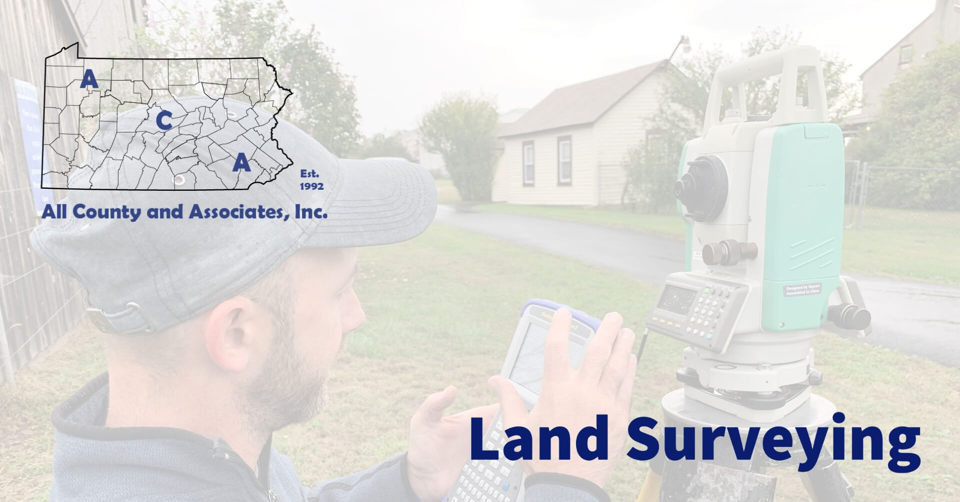
Now the surveyor begins the field work. Once on-site, the surveyor uses electronic survey equipment to retrace the property lines. The surveyor will look for existing markers along the lines and at the intersecting corners. Some examples of markers are iron pipes, rebar, and concrete monuments. They verify any found marker and place a flag. If the surveyor finds that a corner marker is missing, they install it.
Inaccurate Markers
This leads to the common response: “but we found the markers from the other shared lines.” In new subdivisions, there might be some validity to this thought. That said, the surveyor is responsible to certify the boundary. Thus, they will want to verify the locations.
Another common misconception is that since you found a corner marker, that it is accurate. Over time, markers can move. They can either move naturally or by an individual. The earth is constantly shifting, soils are compressing and expanding. With time, this will move the markers. Additionally, people will move pins to increase and even decrease their property. This means every marker needs to be verified.
Even more so, the marker you found might have no meaning whatsoever. It might be from a property line that does not exist anymore. Just because you locate a buried object, doesn’t mean it is a corner marker. It might be a leftover piece of some previous fence, pole, or project. Also, property lines today have not always existed as they do now. This means the pins from those boundaries may exist. That said, it does not mean they reflect one of your corners.
How Much Does a Boundary Survey Cost?
With this explained the last question is “Ok, so how much will it cost?” No two properties are the same. As such, the cost of one survey is not identical to the next. That said, the average boundary survey will cost a few hundred to a couple thousand dollars. Here are some common cost influencers:
- Size – A one-acre property will cost less to survey than a ten-acre site.
- Location – Remote locations can cost more than those in suburban or urban locations.
- Time of year – A wooded property costs less when there are no leaves on the trees.
- Topography – A flat site will be easier to survey that a steep site, thus costing less.
- Complexity – A complex boundary requires extra time, thereby costing more.
Who is ACA?
Started in 1992 and located in Chester County, PA ACA has grown to become a full-service civil engineering firm. Today, we merge professional services with practical knowledge for residential and commercial projects. No matter the scale, from installing a fence, to building a structure or developing land, you need permits. Because the approval process includes many permits and agencies, it can be a headache. Working with ACA’s full-service team saves you time, money, and headaches. Every step of the way, we are here to support you and educate you about the process. Here are some of the basic services we provide:
Construction Management | Civil Engineering | Environmental Permitting | Septic System Testing and Design | Land Surveying | Wetland Delineations and Mitigation
Please feel free to browse our website or if working on a project or need help, contact us at (610) 469-3830.


