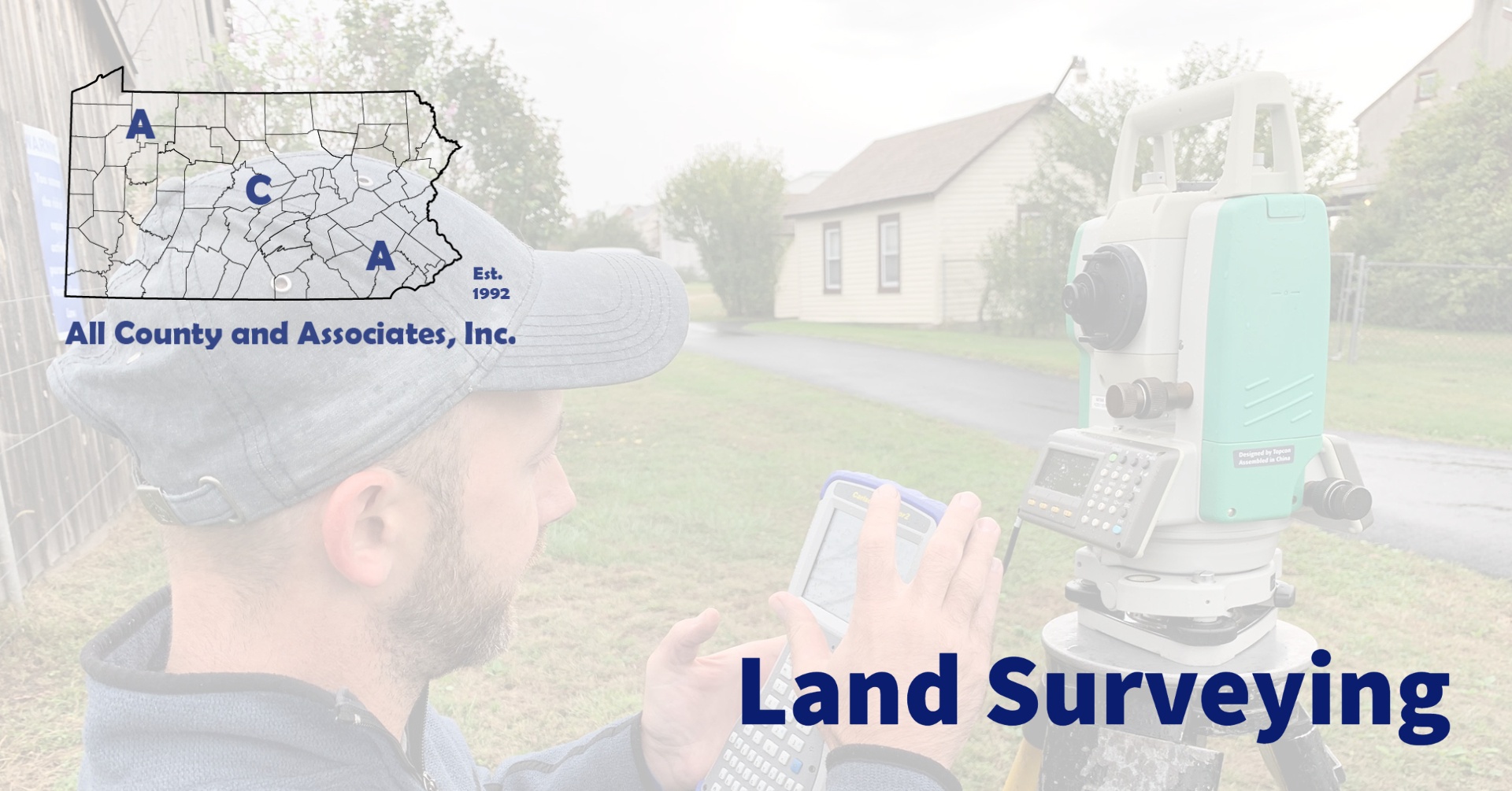
In today’s crazy world, we are so focused on setting boundaries. That is interesting because, as land surveyors, we set boundaries every day! As citizens, our minds often go right to the “dramatic” need for a property boundary survey like “I want to make sure my neighbor is not infringing on my property so I am going to have my boundary surveyed!”. But most property owners conduct boundary surveys for a practical or proactive reason.
Boundary Survey?
A typical owner requests a boundary survey to create or submit documentation as part of a project. This could be to make sure he/she installs their new fence, shed, or outbuilding on their property. Another area would be people want to make sure they are landscaping their own yard. That said, our biggest segment is to survey land for individuals who are building a new home on a bare piece of land. That is when you need to know!
It is not rare to have a property buyer get a property surveyed for peace-of-mind before he or she takes ownership. Property boundary disputes can be a big headache and expense. Additionally, with time, boundaries can become skewed by lost markers or bad word of mouth. Verifying a deeded boundary is important for understanding what you are buying and where the limits are. So, you see, there are a lot of people out there getting familiar with their boundaries for good reasons.
Combining Boundary with Features
Then, once you have the boundaries set, it is time to get topographic. A topographic survey locates the natural and man-made features on a property. Natural features include land contours, trees, streams, and ponds. While manmade features could include buildings, fences, and elevations.
Once gathered, a land surveyor combines the data in software to prepare a plot of the property. A plot is a plan that shows all information gathered during the survey, for review and submission. The main purpose of performing a topographic survey is for construction purposes. The plot plan provides architects and builders a lot of vital information for their parts of the process.
A land surveyor or engineer will combine a topographic survey with proposed improvements. This is performed using CAD software to layout the improvements and manipulate the land. By adding linework, details, and notes, a professional prepare a plan. This plan shows the final product without even moving one shovel full of soil.
Who is ACA?
Started in 1992 and located in Chester County, PA ACA has grown to become a full-service engineering firm. Today, we merge professional services with practical knowledge for residential and commercial projects. No matter the scale, from installing a fence, to building a structure or developing land, you need permits. Because the approval process includes many permits and agencies, it can be a headache. Working with ACA’s full-service team saves you time, money, and headaches. Every step of the way, we are here to support you and educate you about the process. Here are some of the basic services we provide:
Construction Management | Civil Engineering | Environmental Permitting | Septic System Testing and Design | Land Surveying | Wetland Delineations and Mitigation
Please feel free to browse our website or if working on a project or need help, contact us at (610) 469-3830.


