Floodplains and Insurance
Every year, flooding is a continual problem for thousands of homeowners. Between the cost to repair structures to the memories lost to damage, the prices are climbing. This is why there is a need to have flood insurance when living within given areas. That said, not every home shown within a flood boundary actually needs to be within that boundary.
We are not saying it would be a good idea to forgo flood insurance, actually the opposite. With increasing rainfall and rising ocean levels, flood insurance is becoming a smart investment. Floods are the nation’s most common natural disaster. Over 20% of the flood claims come from properties outside the high-risk zone. Finally, some mortgage lenders require flood insurance.
A Flood Insurance Rate Map or FIRM will show the floodplain area. It also shows what category Special Flood Hazard Area (SPHA) occurs along a waterway. Zone A is very common and is an area without a base flood elevation. For all zones above that, excluding zone A99 and V, a determined base flood elevation exists.
The cost of insurance comes from the size, construction, and location. Higher risk areas like Zone A and V carries higher premiums. Flood insurance covers the structure and contents up to the policy value. It is important to also note, flood insurance is an annual expense, not monthly. Whether your main building is in a floodplain or not could save you thousands of dollars a year. The national average for flood insurance is $1,400 per year. For mortgage, holders can often be as high as $15,000 per year.
Elevation Certificates
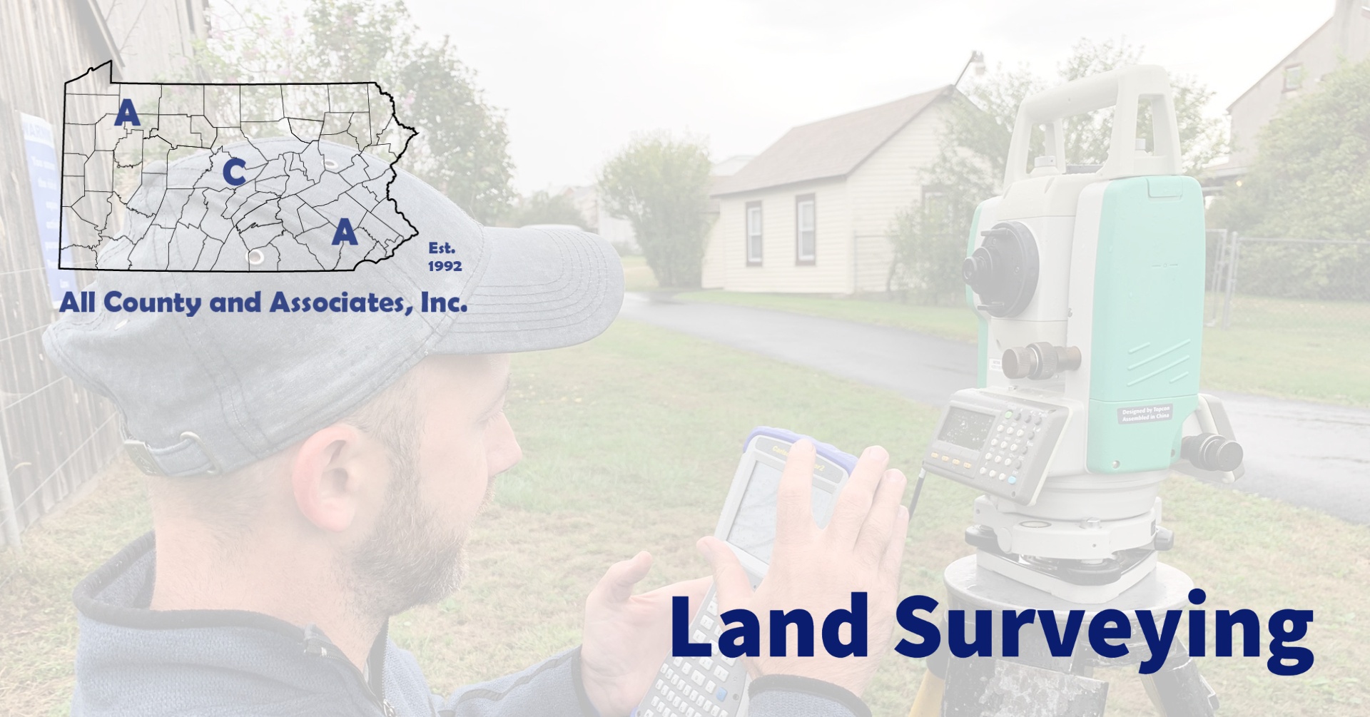
So now that we have looked at flood zones and the program basics, how do professionals get involved? The first step in the process of reducing flood insurance costs is an Elevation Certificate. Obtaining an elevation certificate requires submission to FEMA. An approved land surveyor completes a survey of the property and the application document. This document is then submitted for review and approval. Then an elevation certificate is provided from FEMA. This document provides proof the structure is not in the floodplain, but may not be the last step. This document can then be submitted to the insurance provider to determine the rate adjustment.
The cost for this service varies. The cost usually depends on the size and complexity of the property. The larger and more complex – the higher the price. Things like obstructions, wooded properties, etc. can also increase the cost. The project costs can also vary because of available data. If in Zone A, further evaluation and even a floodplain analysis might need to be completed.
Who is ACA?
Started in 1992 and located in Chester County, PA ACA has grown to become a full-service engineering firm. Today, we merge professional services with practical knowledge for residential and commercial projects. No matter the scale, from installing a fence, to building a structure or developing land, you need permits. Because the approval process includes many permits and agencies, it can be a headache. Working with ACA’s full-service team saves you time, money, and headaches. Every step of the way, we are here to support you and educate you about the process. Here are some of the basic services we provide:
Construction Management | Civil Engineering | Environmental Permitting | Septic System Testing and Design | Land Surveying | Wetland Delineations and Mitigation
Please feel free to browse our website or if working on a project or need help, contact us at (610) 469-3830.


